Kusatsu Onsen · Up in the hills (bus or car)
Yugama crater lake (Mt. Kusatsu-Shirane)
How to get there and what to see · facts checked 2026-10-24
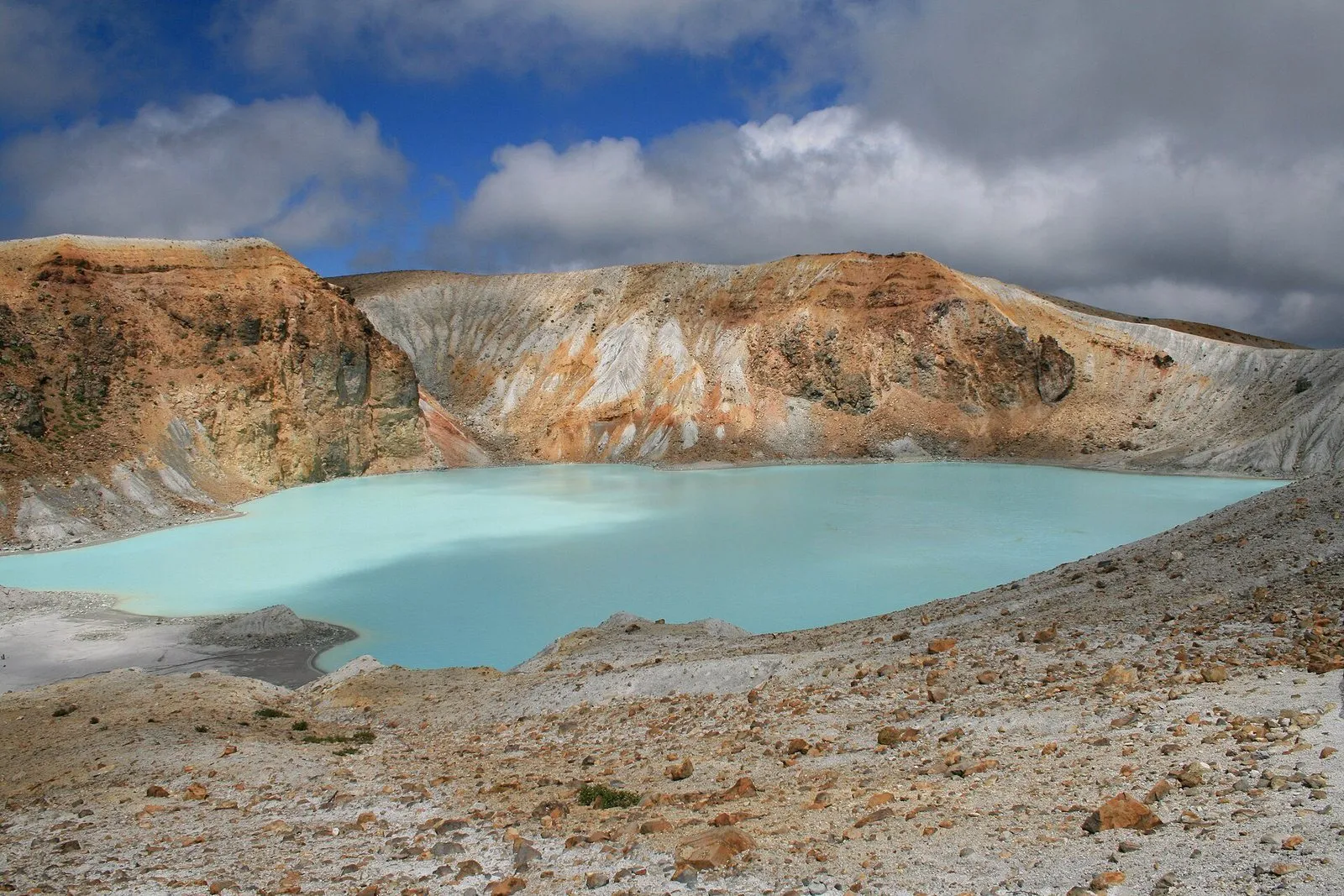
An emerald-green crater lake at the summit of Mt. Shirane. It is currently off limits because of the volcano, so you cannot get close to it.
- Nearest station
- Currently closed to visitors
- Hours
- Currently closed to visitors
What to see
- Emerald-green water: ringed by white crater walls that look like the moon.
- Extremely acidic: the barren slopes support almost no plants.
History
A crater lake about 300 m across and 30 m deep, said to be among the most acidic in the world. Mt. Shirane is still an active volcano.
Getting there
At the summit of Mt. Shirane. We could not confirm any public-transport route on the official pages, and the area is currently closed to visitors.
Before you go
A trial opening of part of the trail near Yugama ran from 13 to 19 October 2026 and was cancelled on 19 October after crowds caused traffic and safety problems. The ban on entering within about 500 m of the crater continues, and no date for reopening has been set (Kusatsu Town, 19 Oct 2026).
Nearby sights
← Kusatsu Onsen guide: trains from Tokyo
Sources
Hours, prices and history come from the official websites and public tourism pages listed here. They can change, so check the official site before you go.
- 草津温泉観光協会(お知らせ 2026.10.19 湯釜・弓池の試行的開放の中止)(checked 2026-10-24)
- 草津温泉観光協会(お知らせ 志賀草津道路の再開通と立入等禁止措置)(checked 2026-10-24)
- 草津町公式サイト(草津白根山)(checked 2026-10-24)
- 草津温泉観光協会(湯釜)(checked 2026-10-24)
Map data:© OpenStreetMap contributors